Have you ever turned down the wrong road because a map icon looked “kind of similar”? One tiny dot, one dashed line, and suddenly you’re lost in the middle of nowhere.
Map symbols meaning is the key. They’re the little pictures and lines on a map that stand in for real places and features, like roads, rivers, and buildings. A map legend is the guide that explains what each symbol stands for, so you know what you’re looking at instead of guessing.
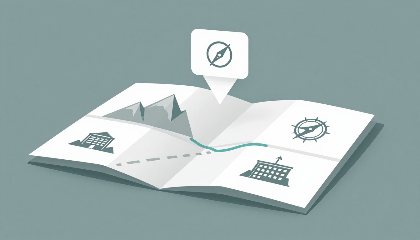
Even in March 2026, when most people use digital maps like Google Maps, the basics still matter. The screen may change, but the idea stays the same: symbols mean something, and the legend tells you what.
In this guide, you’ll learn the basics of map symbols meaning, what map legends explain, and how common symbols show up everywhere. Then you’ll see how symbols shift by map type, so you can read roads, terrain, weather, and nautical charts with more confidence.
Your First Stop: Decoding Any Map Legend
Before you chase roads or zoom into a park, check the legend. Most maps put it in a box near the corner. Sometimes it’s on the edge of a paper map. On digital maps, it may appear as a “legend” link, layer label, or help panel.
A good legend acts like a decoder ring. It matches each symbol to a meaning, often using colors, shapes, and line styles. For example, you might see:
- Blue blocks or lines for water
- Green areas for forests or parks
- Brown lines or shading for hills or elevation
- Black or red for roads and many buildings
Next, look at shapes. A legend might use:
- Dots for towns or points of interest
- Triangles for peaks or mountains
- Crosses for hospitals
- Icons for schools, churches, or trailheads
Then check line styles. Legends often separate roads from trails:
- Solid lines for major roads
- Dashed lines for smaller roads or paths
- Dotted lines for faint features or limited access areas
Here’s the easy way to read it quickly. Find one symbol you recognize, then confirm its meaning in the legend. After that, you can move faster because your brain trusts the map’s “rules.”
A legend is what turns “random marks” into real navigation choices.
Standards also help. In the US, USGS topographic map symbols and guides support consistent meanings for common features. You can start with the USGS educational page on topographic map symbols when you want a solid baseline for reading topo maps.
This still helps in 2026. Digital maps may add extra layers or 3D views, but they don’t erase the need to understand the key. Google may change how navigation looks, yet the symbol logic behind the scenes stays similar.
If your legend looks different from another map you used, that’s normal. Symbols can vary by publisher and map scale, so always check the legend on the specific map in front of you.

Everyday Symbols That Appear on Nearly Every Map
Some symbols feel like they show up in every atlas. That’s because cartographers use familiar “visual language” for basic things: land, water, cities, and roads. When you learn these, you start reading maps even before you find the legend.
Think of it like learning traffic signs. You don’t need to study every sticker, because the shapes and colors communicate patterns. Maps work the same way, even when the exact style changes.
Also, remember: not every map includes every detail. A hiking map and a city map can use the same symbol types, but they might focus on different features.
Colors That Reveal Land, Water, and More
Colors help you spot features fast. That’s their whole job. Blue usually means water. Green often points to vegetation. Brown tends to show elevation. Meanwhile black and red commonly highlight man-made features.
Here’s a simple way to remember common map symbols meaning by color.
| Color you see | Common meaning | What to look for |
|---|---|---|
| Blue | Rivers, lakes, oceans | Snaking lines (streams), enclosed areas (lakes) |
| Green | Forests, parks | Large patches, sometimes with lighter shades |
| Brown | Elevation, hills, contours | Contour lines that bend and stack |
| Black | Roads, buildings, rail | Solid road networks, city blocks |
| Red | Major highways or important points | Thick road lines, key locations |
On many maps, water features look “alive.” A blue line that curves through green means a river. If the blue shape is closed, you might be looking at a lake or reservoir.
Green matters too, especially on hiking and topo maps. Big green areas often suggest protected land or thick tree cover. That can affect how you travel, even when trails are the real story.
Brown signals that the terrain changes. On topographic maps, brown contour lines show where elevation stays the same. Even on non-topo maps, brown shading may mark hills, dry land, or bare ground.
If colors confuse you, slow down and trust the legend first. Then scan the map again with fresh eyes.
Dots, Stars, and Shapes for Cities and Spots
Now zoom your attention to points. Points are small symbols that mark a specific location. That’s why dots and icons show up everywhere.
Dots often represent towns or cities. In many legends, the size of the dot hints at how big the city is. A tiny dot might mean a small town. A larger dot could mean a major metro area.
Stars often mark capitals on political maps. Other icons act like quick stand-ins:
- A cross icon can indicate hospitals.
- A book or cap style icon may represent schools.
- A pin-like or flag icon can mark landmarks.
- Park areas sometimes use a single shape style, like a brown blob or an outlined patch, depending on the map.
In addition, you’ll often see special point symbols for services. Gas stations, rest areas, campgrounds, and trailheads can use their own icon shapes.
Railroads are a big one to watch. They may show up as parallel lines, sometimes with a distinctive marker pattern. Even when roads and rails overlap visually, their line style usually gives them away.
If you struggle at first, start with one “anchor” symbol. For example, find the hospital icon. Once you understand that one point, it gets easier to interpret the rest.
Lines That Guide Your Path or Mark Borders
Lines show movement, separation, and connection. Roads, trails, rivers, and borders all rely on line style to communicate.
Road maps often use solid lines for main roads. Smaller streets can use thinner solid lines. Dirt roads might appear dashed.
Meanwhile, trails can use dashed patterns too, but they usually look lighter or less “connected” than highways. On hiking maps, a dashed trail line often means a footpath that may not support cars.
Borders work similarly. Country borders can use one line style. State borders can use another. If the legend uses thick lines for one level of government and thinner lines for another, follow that rule.
Rivers are another line-style story. You may see flow arrows on streams. That helps you understand direction, which matters for crossing points and route planning.
Once you start noticing line weight and breaks, you stop treating the map like a picture. Instead, you read it like a set of instructions.
Symbols That Shift by Map Type: Pick Your Adventure
Here’s a key truth: there’s no single “map language.” The basics repeat, but the details change by map type. That’s because each map aims to answer a different question.
A road map asks, “How do I drive there?”
A topo map asks, “What does the land do?”
A weather map asks, “What’s happening right now?”
A nautical chart asks, “Where can I safely travel?”
So when symbols shift, it’s not you failing. It’s the map doing its job.
Also, in 2026, digital apps may make things look fancier. Some layers add glow, emphasis, or 3D views. However, the legend concept still guides your reading.
Road Maps: Streets, Highways, and City Icons
On road maps, line weight does a lot of the talking. Thick lines often mean major routes. Thinner lines usually mean local roads.
Interstates and highways often stand out with bold styling. Some legends also use color changes, like red or orange for key highways. Local roads might appear in black or dark gray.
If you’re driving, city symbols also matter. City dots can show where services concentrate. In some maps, you’ll see bigger icons for major hospitals, airports, or airports.
Parks and recreation areas typically use green to help them blend into the “land” picture. Even if you’re just passing through, these areas hint at where you might find rest stops, campgrounds, or scenic pull-offs.
Don’t ignore the dashed parts. Dashed road lines can mean unpaved roads or routes that aren’t meant for big vehicles. Trails and footpaths can also appear as dashed lines, especially on maps that cover rural areas.
Finally, check how the legend treats route gaps. Some road maps include symbols for “closed” or “seasonal” roads. If you spot that, plan for alternate routes.
Topographic Maps: Contours, Trails, and Terrain Secrets
Topographic maps tell the truth about land shape. They use contour lines to show elevation. In simple terms, each contour line marks points at the same height.
When contour lines sit close together, the land usually rises or falls steeply. If the lines spread out, the slope is gentler. That’s why topo maps can feel like a “shape puzzle” at first.
USGS topographic symbol guidance supports consistent meanings across topo products. If you want an official reference, the USGS guide on topographic map symbols is a helpful deep reference for symbols beyond contours.
On many topo maps, you’ll also see:
- Blue for water features like streams and lakes
- Green for woods or vegetation areas
- Dotted or dashed lines for trails
- Rock or hazard symbols for cliffs, rock outcrops, or rugged areas
A stream might include little arrows. Those arrows show flow direction. That can help on hikes, especially if a crossing looks dangerous.
Trails show up as lines that don’t look like roads. Often they are thin and broken. In addition, some trails may show separate symbols for foot trails versus multi-use paths.
If you’re planning a hike, use the topo map for a quick reality check. Steep spots usually become obvious fast once you read contour spacing.

Political Maps: Borders, Countries, and Place Names
Political maps focus on boundaries. That’s the main action on the page. Instead of contour lines, you’ll see lines that separate states, counties, or countries.
You might also notice color blocks for regions. For example, one color may represent a state. Another color represents its neighbor. Some maps use patterns, too, like stripes or dots, especially when the print version needs extra contrast.
Place names can also stand out more on political maps. Capitals might get a star icon or bold label. Larger cities may appear with bigger dots or heavier text.
Because political maps vary by publisher, legends can differ too. In practice, your best move is to find the legend and then match border line styles. That way, you don’t confuse a county boundary for a state boundary.
If you want a quick example of how a state map legend can be laid out, check a typical US state highway map legend. It shows how legends often map colors and line styles to government areas.
Weather Maps: Icons for Sun, Storm, and Wind
Weather symbols can look like tiny art pieces. Still, they follow patterns.
A basic weather map often uses icons to show skies and precipitation:
- A sun icon for clear conditions
- A cloud with rain drops for rain
- A snowflake for snow
- A lightning bolt for thunderstorms
- A spiral symbol for hurricanes
Wind gets shown in line sets too. Isobars can appear as curved lines that group pressure levels. Front boundaries can use lines with triangle or bar patterns. When symbols show strong pressure changes, wind typically follows.
For a reliable guide to reading these, NOAA’s How to read Surface Weather Maps explains common features and the big picture behind those lines.
The real trick is this: don’t try to read every icon at once. Start with fronts and storm centers. Then use the precipitation symbols to predict what you’ll experience on the ground.
Nautical Charts: Depths, Hazards, and Sea Paths
Nautical charts look different because they’re built for water travel. Depth and hazards take center stage.
Depths often appear as blue shaded areas or numbers, sometimes with contour lines. Lighter shades can indicate shallower water, while darker shades show deeper areas. If you see contour style lines, treat them as depth boundaries.
Coastlines usually appear in brown or darker tones. Rock hazards may show as special dot patterns. Wavy lines can mark sea state, waves, or certain conditions.
Beacons, buoys, and navigation aids may use icons or symbols. In addition, a compass rose helps you match chart orientation to real direction.
If you ever feel stuck, use an official symbol reference. NOAA’s U.S. Office of Coast Survey Official Chart No. 1 is designed as a symbol legend for nautical charts and related products. It’s the best place to confirm unfamiliar symbols.
For safety, always check charted depths and hazard symbols, even if you have a modern GPS. Electronics can fail. Charts help you understand what the water is like.

Quick Tips to Read Maps Like an Expert Anywhere
You don’t need special skills to read maps well. You need a repeatable habit. Here are practical ways to build that habit without overthinking.
- Start with the legend, even on maps you think you already know.
- Use one symbol at a time. Pick the easiest one first, then expand.
- Watch line styles (solid, dashed, dotted). They often mean route type or access level.
- Check scale and direction if distance matters. Legends can’t fix a wrong zoom.
- Practice with a topo map on a short local hike. Contours become easier fast.
Also, compare paper and digital maps. Digital maps like Google Maps can show extra layers. Yet the legend logic still guides your understanding. If you’re using Street View or immersive driving views in 2026, remember those features help with visuals, not symbol meanings.
Finally, carry one “mental checklist.” Legend first, colors next, points next, lines last. Once you do it a few times, your brain starts doing it automatically.
Conclusion: Map Legends Make Symbols Make Sense
That confused moment on your hike or drive usually comes from one thing. The map symbols had meaning, but the legend didn’t get your attention first.
Once you learn map symbols and legends meaning summary, you stop guessing. You start reading. Colors, shapes, and line styles work together, and the legend gives you the translation.
Then, when you switch map types, you don’t panic. You just switch your focus. Roads, terrain, weather, and water each use symbols to answer different questions.
Next time you open a map, make it a quick skill test. Find the legend, decode a symbol, and see if your route feels clearer right away.