Have you ever noticed how some neighborhoods flood easily, while others stay dry? Geography helps explain that. It also shows why some cities grow in one place, and not in another.
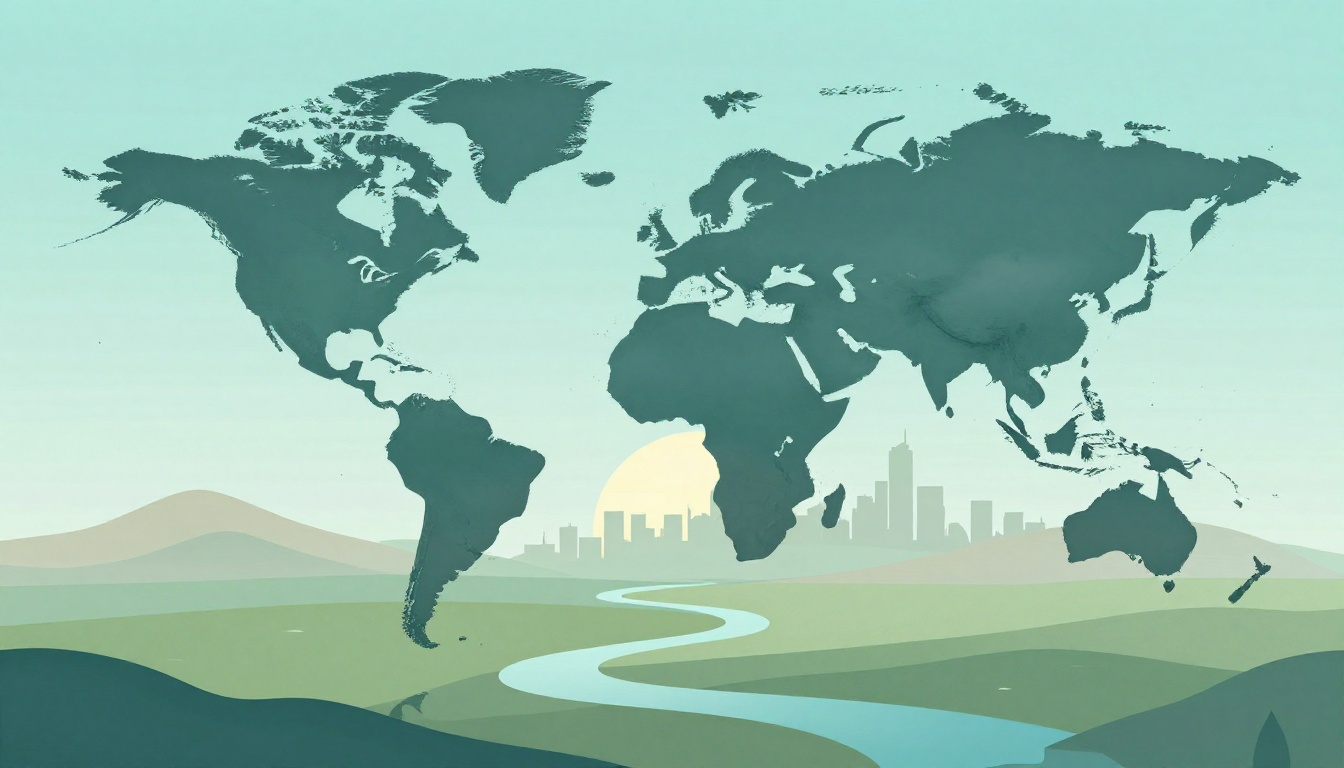
So, what is geography? At its core, it’s the study of Earth’s landscapes and environments, plus how people connect with places. You can think of it like a “where” and “why” subject. Where do rivers and mountains go? Why do people settle near certain coasts or valleys? Then, how do choices in one place affect others?
Geography matters because real problems are tied to real locations. Climate change, city growth, and water shortages all have patterns you can map. In this guide, you’ll learn what geography studies, the main branches of geography, and why geography in climate change and other issues matters today.
Unveiling Geography’s Core Branches: From Nature to Human Life
Most geography classes start with a big split: physical geography vs human geography. Physical geography looks at Earth’s “natural body,” while human geography focuses on societies and how they live in different places.
If you want a simple definition, WorldAtlas puts it clearly: geography studies land, physical features, atmosphere, and human activities, and how those interact across the globe (see two main branches of geography). That definition also hints at something important: the two branches overlap all the time.
For example, a hurricane forms over warm ocean water (physical). Then it hits housing, roads, and jobs (human). After that, recovery plans change land use and building rules (physical and human together). In other words, geography isn’t one topic. It’s a way of thinking.
The main branches of geography (and what they study)
Here are common branches of geography you’ll hear about in school and in real jobs:
- Physical geography: landforms, climate, soils, ecosystems, and natural hazards
- Human geography: culture, population, economies, migration, and political patterns
- Regional geography: how places connect within a specific area (for example, the Midwest or the Sahel)
- Cartography: how to make maps that communicate clearly
- Integrated geography (often called environmental geography): how nature and people interact
You may also see lots of subfields. ThoughtCo lists major sub-disciplines and shows how wide geography can get (see major sub-disciplines of geography).
Now that you have the core split, let’s zoom in on the natural side first.
Physical Geography: Decoding Earth’s Natural Wonders
Physical geography focuses on Earth’s systems and features. That includes landforms like mountains and valleys, plus climate patterns like rain and wind. It also covers soils, living ecosystems, and natural hazards such as floods and volcanoes.
Think of physical geography like Earth’s operating manual. If you know the rules of the “terrain and weather,” you can often predict what happens next. A river carves a valley over time because water moves and rock erodes. A desert forms because dry air limits rainfall. Forests grow where temperature and moisture support them.
In recent years, physical geography has also become a key tool for tracking environmental change. Researchers use data and models to monitor trends that affect coastlines and communities, including the role of melting ice and glacier loss in sea level rise.

Even in 2026, hazards stay grounded in physical facts. For example, when soils are already saturated and storms intensify, flooding becomes more likely. When heat and drought last longer, wildfires spread faster. These aren’t random events. They follow patterns you can study.
So yes, physical geography is exciting. But it’s also practical. It helps communities plan around risk, not just react after damage.
Next, let’s look at the other side: how people make places their own.
Human Geography: How People Shape and Are Shaped by Places
Human geography asks a different set of questions. How do people build cities in certain spots? Why do communities grow near jobs, transit, or resources? How do migration, language, and culture change when people move?
A simple way to picture human geography is this: people don’t just live on landforms. They reorganize landforms into neighborhoods, workplaces, farms, and trade routes.
For example, many cities cluster near ports, rivers, or crossroads because transport links lower costs. Cultural festivals also often tie to place. A region’s climate can shape what people farm, eat, and celebrate. In short, the “where” influences daily life, and daily life then reshapes the “where.”
In 2026, remote work and hybrid schedules add a new twist. Some people still want city jobs and cultural options. Others choose suburbs or smaller metros for space, schools, and commuting patterns. That shift affects housing demand, traffic, and even local business growth. Human geography helps you see the cause-and-effect chain.

Travel stories make this easy to spot. In one city, older neighborhoods center around transit routes and older markets. In another, newer suburbs spread out where highways and zoning rules allow it. Different places, different histories, different choices.
Now let’s bring both branches together with modern tools.
Geography’s Tech Edge: Maps and Satellites in Action
Traditional maps still matter, but today’s geography runs on data. Geographic Information Systems (GIS) let you layer maps, so you can compare flood zones, road networks, population density, and green space in one view. Remote sensing, including satellites, helps track large-scale changes across time.
In 2026, GIS is also showing up in urban planning tools. For example, ArcGIS Urban updates focus on showing planners a clearer picture of existing conditions and supporting practical planning needs (see ArcGIS Urban updates in March 2026).

When disasters hit, these tools can help answer fast questions. Which neighborhoods face the most risk? Where are shelters easiest to reach? Which routes stay open when roads flood?
So geography keeps evolving. But the goal stays the same: understanding places so decisions feel less guessy.
Why Geography Drives Solutions to 2026’s Global Challenges
It’s hard to solve today’s big problems without asking location questions. Where does water come from? Where will people move next? Which areas are most exposed to heat, storms, or wildfire?
That’s the importance of geography. It links real-world facts, like terrain and climate, to real human outcomes, like housing costs and safety.
Here are three challenges where geography has a direct role:
- Climate change: mapping risk, tracking impacts, planning adaptation
- Urbanization: using location data to handle growth and services
- Resources and borders: studying water, land, and shared boundaries

Battling Climate Change with Geographic Know-How
Geography in climate change starts with measurement. Weather systems, ocean patterns, land cover, and wind directions all shape what people experience. That’s why “climate” doesn’t hit every place the same way.
In practical terms, geography helps communities plan for floods and heat. It can also guide coastal protection and ecosystem protection, because shorelines don’t respond the same way everywhere. Some places lose wetlands fast. Others have space for buffers if policies allow it.
In the Arctic, researchers keep updating what they know and what they expect next. As of early March 2026, reporting focused more on upcoming Arctic research gatherings than on fresh Arctic sea ice numbers. That matters, because adaptation plans depend on current evidence, not old assumptions.
A good example of geography-based thinking is regional vulnerability. One recent piece from ESADE connects adaptation needs to where vulnerabilities are most likely to grow (see adapting to climate change lessons from geography).
When you combine location data with local knowledge, planning gets smarter. It also gets more fair, because the people most at risk often live where resources are hardest to replace.
Smart Urban Planning Amid Booming Cities
Cities keep growing. Today, more than half the world lives in urban areas, and the share is expected to rise. By 2050, one estimate puts it around 68%. That growth pushes housing, transit, water systems, and energy use.
In the US, urban pressure shows up as infrastructure strain. Housing gaps and homelessness challenges affect service access. Meanwhile, mobility tech and new transit systems can reshape how people move. Even when technology improves travel time, geography still controls travel distance, slope, flood risk, and commute patterns.
So urban planning needs a “place lens.” Where does stormwater go? Which neighborhoods sit on the lowest ground? How does heat worsen near certain building types? GIS layers help planners compare options and spot hidden constraints.
Securing Resources and Easing Border Tensions
Water and land often define conflict risk. Geography explains why. Rivers cross borders, and rainfall doesn’t stop at the same lines that governments draw.
In parts of the Middle East, scarcity and shared rivers can raise tensions. Some 2026 reporting also points to how conflict can disrupt water infrastructure, including desalination capacity, which many communities rely on.
That’s why geography matters for more than maps and school projects. It informs discussions about water sharing, infrastructure protection, and long-term planning. If leaders ignore location realities, agreements can collapse under drought, population growth, or damaged systems.
Geography helps answer basic questions. Where is the water stored? How does it move through the landscape? Who depends on it downstream?
When you ask those questions early, policies face fewer surprises later.
Bringing Geography into Your Daily Life and Career Path
You don’t need to be in a classroom to use geography. Your phone already does it. Your commute does it. Even your grocery list does it, because farms and supply chains follow climate and land rules.
Here’s how geography shows up in everyday life:
- Navigation apps use maps, road data, and location signals
- Travel planning depends on climate patterns and terrain challenges
- Weather warnings connect local risk to real storm paths
- Local voting can involve land use, schools, transport, and hazard planning
You can also build geography skills in a way that helps your future. Many careers use spatial thinking, even if you never become a “map person.”
Try this simple starter step: spend 20 minutes in Google Earth. Zoom from your city to nearby regions. Look for rivers, hills, coastlines, and major roads. Ask what each feature might mean for flooding, travel, and land use.
Five geography-related careers to consider
- GIS analyst: builds layered maps for planning, utilities, and risk models
- Environmental consultant: studies land, habitat, and hazard impacts for projects
- Urban planner: helps design neighborhoods with housing, transit, and services in mind
- Climate risk researcher: connects weather trends to local planning needs
- Geospatial analyst: turns location data into reports for public and private teams
If you’re curious about pay, GEO CAREERS breaks down geospatial analyst salary ranges and trends (see geospatial analyst salary in 2026). While job titles vary, the common thread is clear: understanding location makes decisions easier.
Conclusion: Why Everyone Should Care About Geography Today
So, what is geography? It’s the study of Earth’s places and the connections between landscapes and people. It splits into physical geography vs human geography, but the best understanding comes when you see how they overlap.
Geography’s importance shows up in 2026 problems you can actually feel, from extreme weather risks to fast city growth and water tension. When you understand where things happen, you can plan with more confidence.
If the opening question stuck with you, keep going. Explore a map, read a basic geography book, or share one place you love and explain what makes it work. Geography keeps you curious, and it keeps you prepared. And yes, that’s still true when you ask, again and again, what is geography for your own life.